Precision crop management is a game changer for farmers worldwide. Let’s discuss satellite imaging and Geographic Information Systems (GIS), powerful technologies that are transforming farming worldwide.
Let’s explore how these high-tech tools are reshaping modern agriculture and aiding precision crop management.
The Power of Satellite Imaging
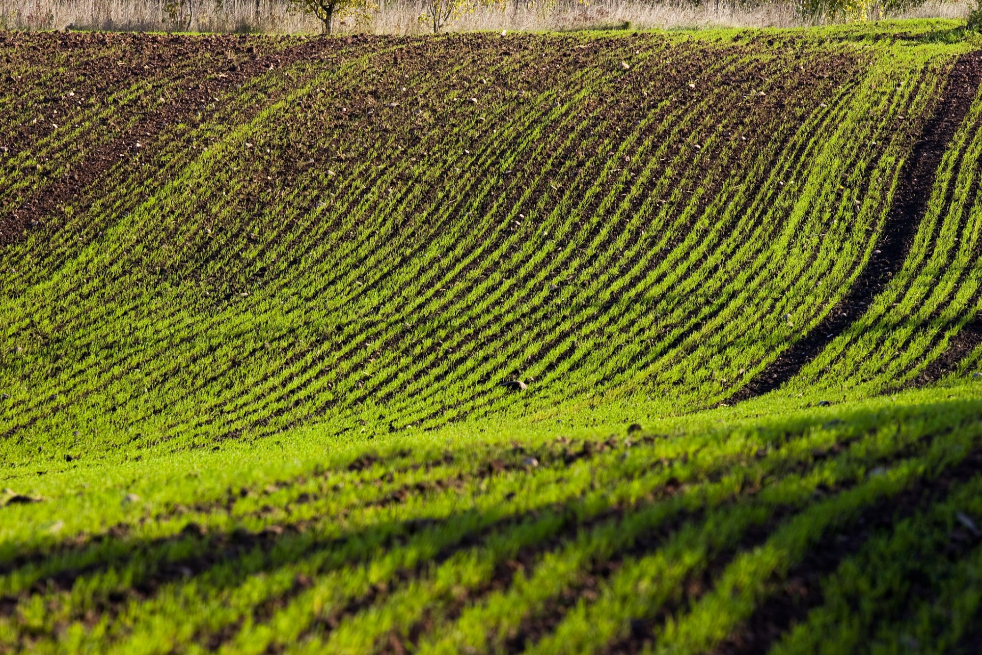
First, let’s talk about satellite imagery. Who doesn’t like the thought of seeing their farm from space and having a bird’ s-eye view? It’s similar to owning a personal drone with endless battery life. These satellites fly far above the earth and take incredibly precise pictures of the fields, allowing farmers to clearly see their crops’ health and condition.
However, it is not just about high-definition pictures. Satellite imaging is revolutionary for farmers. By analyzing these images, they can spot trouble spots like pest infestations or nutrient deficiencies before they become threatening problems. The most beneficial aspect is that farmers can monitor their crops from the comfort of their own homes, owing to real-time access to satellite data.
However, the most interesting part is that studies have shown that farms using satellite imagery have seen significant boosts in yields, up to 10% in some cases. By pinpointing where resources such as water need to be utilized, they have managed to reduce water usage by as much as 20%.
This is a win-win situation for both the crops and the environment.
According to a paper published by the European Space Agency, satellite imagery has boosted crop yields by up to 10% while lowering water usage by 20%. These amazing statistics demonstrate the full potential of satellite technology to enhance agricultural sustainability and maximize harvests..
The Role of GIS
According to National Geographic, A geographic information system (GIS) is a computer system for capturing, storing, checking, and displaying data related to positions on Earth’s surface.
For precision farming, GIS is the unsung hero. It layers satellite photos with other vital information, such as soil types, weather patterns, and previous crop performance, and enhances and upgrades them using GIS software. It is the same as digitally transforming the fields.
What does this, however, mean for farmers? It basically means that they can learn things about their fields that they were unaware of previously. They are able to pinpoint regions that require additional care and attention. They are able to design customized approaches to ensure that their crops receive the attention in areas where it is required.
The best part is that farms that employed GIS and satellite imagery saw a 12% rise in agricultural output and a 15% decrease in fertilizer usage. These statistics are based on a study published in the Journal of Applied Remote Sensing. That is an indicator of a successful business endeavor!
Benefits of Precision Crop Management
Now, let’s discuss why precision crop management is so highly recommended. First, farmers can maximize yields by using precision crop management. Using satellite images and GIS, they can also identify possible areas of attention before things get out of control. This allows them to provide their crops with the care they require to flourish. Furthermore, by applying scientific knowledge to their planting decisions, they reap greater harvests and improve their financial outcomes.
Next, let us discuss resource efficiency. Farming leaves a significant footprint on the environment in the form of soil erosion and CO2 emissions. However, with precision crop management, this impact can be greatly reduced. Farmers can reduce waste and carbon footprint by using only what is needed and exactly where it is needed, whether water, fertilizer, or pesticides. This is a huge favor to Mother Nature and our future generations.
Last but not least, precision crop management enables us to detect risks early and act proactively. With the help of satellite imaging, farmers can save their crops before any disaster strikes. Whether it’s spotting a pesky pest invasion or predicting a drought before it hits, farmers are always one step ahead, keeping their crops safe and sound.
According to a study published in the Journal of Applied Remote Sensing, farms using both satellite imagery and GIS saw a 15% reduction in fertilizer usage. Simultaneously, they benefited from a 12% increase in crop yields compared to conventional methods. These findings demonstrate the effectiveness of combining satellite imaging with GIS for precision crop management.
Challenges and Considerations
Of course, no technology is without its challenges. The first hurdle is the cost. Satellite imagery and GIS software can be pricey, especially for smaller-scale farmers. However, government subsidies or support programs can help make these tools more accessible to everyone.
The learning curve is another obstacle. It is not exactly easy to understand satellite photos and GIS data to be realistic. But this is not an alarming situation for the farmers. They can quickly become acquainted with and proficient with these technologies with some practical instruction and instructional materials.
Last but not least, the internet. Reliable internet is a must for sharing and downloading all of that highly accurate and updated satellite data. We can only hope that all remote areas will see some swift improvements to their internet connections. As we are well aware, no matter how advanced the technology is, a fast internet connection is mandatory to benefit from it. This is especially true if data needs to be updated, downloaded, and analyzed at a quick pace.
Conclusion
It is becoming clearer that farming has a bright future ahead of it. It is visible that the revolutionary potential of the latest technology, like GIS integration and satellite imaging, is enabling our farming methods to reach high levels of sustainability and efficiency. In fact, the way crops are growing is undergoing a reinvention. We can apply more intelligent agricultural techniques with the knowledge gained from these modern instruments, ensuring that our crops get exactly what they require at the right time.
As we thrive towards a more promising agricultural future, we can picture fields full of healthy crops that feed our future generations. It is the goal of sustainability for which humans coexist peacefully with the natural world to protect fragile ecosystems. Let’s celebrate the creativity and commitment of all farmers who work hard to feed the world and protect the land for future generations. Let’s look forward to a time when farming will not just be a means of subsistence but also a ray of hope for a more thriving and sustainable planet!